- Cartas e Publicações
-
Indústria Naval

-
Náutica

-
Indústria Terrestre

-
Equipamentos p/ portos

- Proteção Covid-19
- Sobre Nós
- Novidades
- Marcas
- Contactos
- Serviços
- Catálogos
- Home /
- Cartas e Publicações /
- Digitais /
- Admiralty /
- Admiralty Digital Charts /
- Admiralty Raster Chart Service
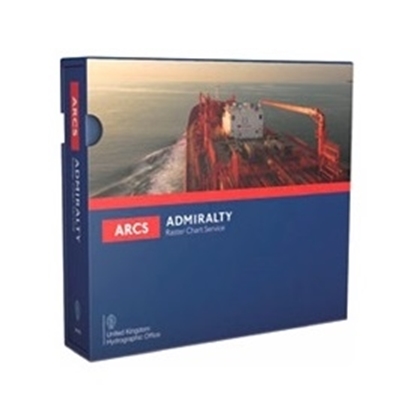
Admiralty Raster Chart Service


The ADMIRALTY Raster Chart Service (ARCS) provides raster chart coverage of international shipping routes, main ports and harbours in a comprehensive range of scales. Ideal for both bridge crews and shore based users, it combines the familiarity of traditional ADMIRALTY paper charts with the precision of satellite positioning to support decision making.
Key features of ARCS include:
Familiar, clear and easy-to-use digital charts, helping bridge crews to understand critical information at moments of peak workload and pressure
Extensive coverage of international routes and ports in a comprehensive range of scales
Weekly ADMIRALTY Notice to Mariners updates to support safe navigation
Compatible with a wide range of office based systems enabling cost-effective digital charting for shore-based users
Find out more about the features of ARCS >
Here to help
Once you’ve chosen ARCS we can offer you guidance to help you get the most from the service, with further support available from chart agents and our in-house customer service team.
Find out more about support for ARCS >
Available around the world
We distribute our products through a global network of experienced and trusted ADMIRALTY Chart Agents. If you are interested in finding out more about ARCS, please contact your preferred chart agent or visit the find an ADMIRALTY Chart Agent page to locate your closest distributor.
Admiralty Raster Chart Service
- Praceta Augusto Dias Silva, 94 2B 2785-521 Sao Domingos de Rana
- info@jgarraio.pt
- Tel.: +351 213 473 081

As fotos apresentadas podem não corresponder as configurações descritas.
Preços e especificações sujeitos a alteração sem aviso prévio.
A J. Garraio declina qualquer responsabilidade por eventuais erros publicados no site.
Desenvolvido pela Agência PRIMEWAY - Plataformas Digitais • Design • Marketing Digital


