Close
- Graphiques et Publications
-
Industrie Maritime

-
Nautique

-
l'industrie de la Terre

-
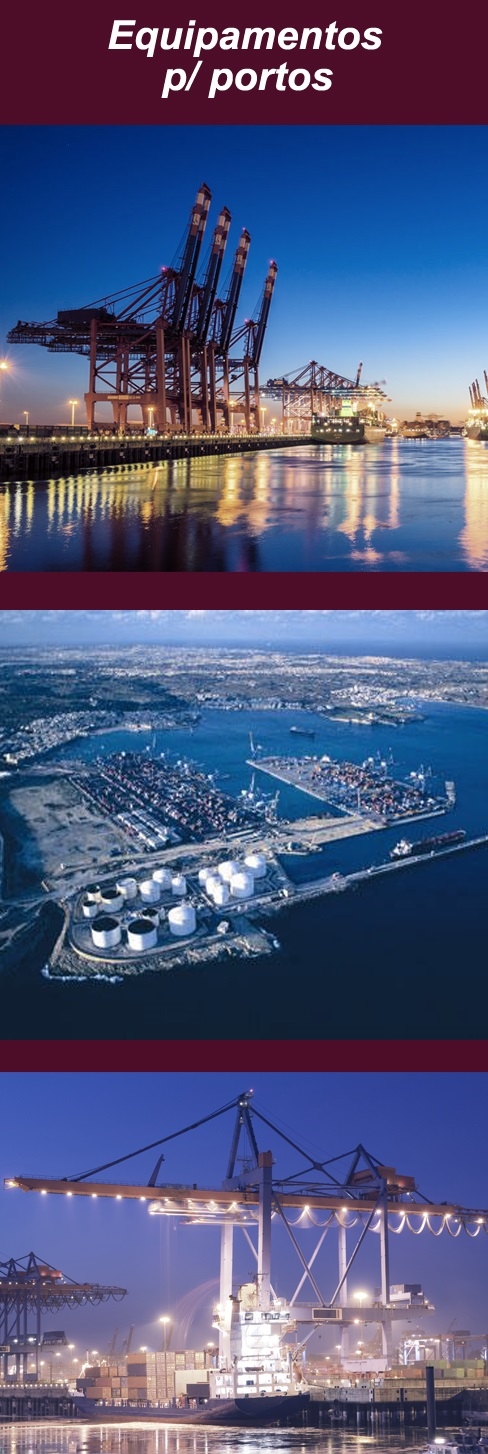
L'équipement pour les ports

- Proteção Covid-19
- Sobre Nós
- Novidades
- Marcas
- Contactos
- Serviços
- Articles
Menu
(0)
items
You have no items in your shopping cart.
All Categories
Menu
Shopping cart
Filters
Personal menu
Preferences
Search
- Home /
- Graphiques et Publications /
- Publicações de Recreio /
- Navegação fluvial /
- Map of the German Waterways
Produtos Relacionados
-
Hidden Harbours of Wales
Call for pricing -
Inland Waterways of France
Call for pricing -
Inland Waterways of Germany
Call for pricing -
Inland Waterways of Great Britain
Call for pricing -
Inland Waterways of Ireland
Call for pricing -
Map of the Inland Waterways of France
Call for pricing -
Map of the Inland Waterways of Great Britain
Call for pricing -
Navigating the Tames
Call for pricing -
River Nene
Call for pricing -
River Seine Cruising Guide
Call for pricing
Customer service
Contact Us
- Praceta Augusto Dias Silva, 94 2B 2785-521 Sao Domingos de Rana
- info@jgarraio.pt
- Tel.: +351 213 473 081

Copyright © 2024 JGARRAIO. All rights reserved.
As fotos apresentadas podem não corresponder as configurações descritas.
Preços e especificações sujeitos a alteração sem aviso prévio.
A J. Garraio declina qualquer responsabilidade por eventuais erros publicados no site.
As fotos apresentadas podem não corresponder as configurações descritas.
Preços e especificações sujeitos a alteração sem aviso prévio.
A J. Garraio declina qualquer responsabilidade por eventuais erros publicados no site.
All prices are entered including tax. Excluding shipping
Powered by nopCommerce
Desenvolvido pela Agência PRIMEWAY - Plataformas Digitais • Design • Marketing Digital


